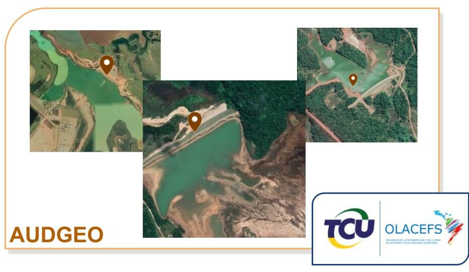
This research project aims to develop methodologies in the selection process of audit objects related to the environmental area of interest of audition institutions in Latin America, through the Latin American and Caribbean Organization of Supreme Audit Institutions (OLACEFS). Actions focus on the use of machine learning methods, in particular Deep Learning with a focus on satellite image processing. The objective is to develop and evaluate methodologies in two applications: (1) monitoring of ore tailings dams; and (2) identification of deforestation in the Amazon region using radar.
Full Title: Development of AI methodologies for audit objects related to the environmental monitoring. Funding: Organization of Latin American and Caribbean Supreme Audit Institutions (OLACEFS). Duration: 2020-2021.
Related Publications:
- Ferreira, E., Brito, M., Balaniuk, R., Alvim, M. S., & dos Santos, J. A. (2020, March). BrazilDAM: A benchmark dataset for tailings dam detection. In 2020 IEEE Latin American GRSS & ISPRS Remote Sensing Conference (LAGIRS) (pp. 339-344). IEEE. [PDF]
- Pereira, M. B., & dos Santos, J. A. (2020, March). An End-to-end Framework For Low-Resolution Remote Sensing Semantic Segmentation. In 2020 IEEE Latin American GRSS & ISPRS Remote Sensing Conference (LAGIRS) (pp. 6-11). IEEE. [PDF]
Products:
- Patreo DAM Detector: http://patreodam.dcc.ufmg.br/
- Datasets: http://patreo.dcc.ufmg.br/brazildam-dataset/
Our work in the media: (in portuguese):
- Jornal da Band (08/07/2021): https://www.youtube.com/watch?v=uhX4belnDP8
- G1.com, portal: https://g1.globo.com/mg/minas-gerais/noticia/2021/07/05/ufmg-desenvolve-programa-capaz-de-identificar-barragens-irregulares.ghtml