GEOCONTROL PROJECT: AUTOMATION OF DETECTION OF
IRREGULARITIES THROUGH ARTIFICIAL INTELLIGENCE SYSTEMS
Environmental and climate protection policies require complex structures of environmental governance. State action in the environmental area is implemented by public agencies, institutions and private sector companies. Conflicts of objectives between economic growth, environmental protection and social development undermine the effective and efficient implementation of environmental policy measures and the achievement of sustainable development objectives.
The Federal Audit Office (TCU) and the Deutsche Gesellschaft für Internationale Zusammenarbeit (GIZ) GmbH, under the responsibility of the Ministry of Economic Cooperation and Development of Germany (BMZ), jointly implement the project “Strengthening External Control in the Environmental Area – Audits Environmental “. The project aims to enable the TCU of Brazil and other Supreme Audit Institutions (SAIs) of the Latin American and Caribbean Organization of Supreme Audit Institutions (OLACEFS) to effectively carry out their institutional mission to improve Public Administration, notably refers to government investments in the environmental area. The project works in three fields of action: 1) Strengthening of inspection processes; 2) Strengthening of cooperation mechanisms among SAIs members of OLACEFS and improvement of their services; and 3) Strengthening of internal, external and stakeholder communication within TCU and other SAIs members of OLACEFS.
The GeoControle Project has been developed in several phases that include partnership with researchers from Brazilian universities such as UnB and UFMG. In the context of the GeoControle Project, DCC-UFMG, through PATREO, is responsible for developing tools for the automation of detection of irregularities patterns through Artificial Intelligence Systems related to the use of remote sensing and geoprocessing technologies. Research and development activities include:
- To evaluate artificial intelligence techniques for segmentation, detection, classification and identification of patterns of possible irregularities (nonconformities) present in remote sensing images, indicating to the Court the pros and cons of each of them, so that the TCU is GIZ can, fundamentally, define the technology base to meet the development requirements, integrated with the ArcGIS system;
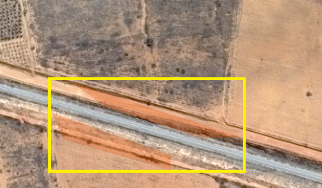
- To evaluate the use of low resolution satellite images, their potential and limit of evidence of potential irregularities, especially in relation to the vegetation cover patterns that support the classification required to attend to the inspection of the land regularization project in the Amazon. Terra Legal Project, and the measurement of data from the Rural Environmental Registry, in addition to the temporal evaluation of the development of the works of the Nova Transnordestina Railway;
- To evaluate the use of high resolution images, their potential and limit of evidence for the detection and documentation of potential irregularities, from images collected by the constellation of Pleiades satellites already acquired by the TCU;
- To research and develop techniques and methodologies in order to allow the automation of detection of irregularities patterns with the use of remote sensing images in the activities of External Control and to make them available through modules integrated to the ArcGIS system.
Keywords: GeoControl, TCU, rails, machine learning, computer vision, artificial intelligence.
Members
- Jefferson dos Santos
- Keiller Nogueira
- Caio da Silva
- Luiza Abreu
- Pedro Gama
- Gabriel Machado