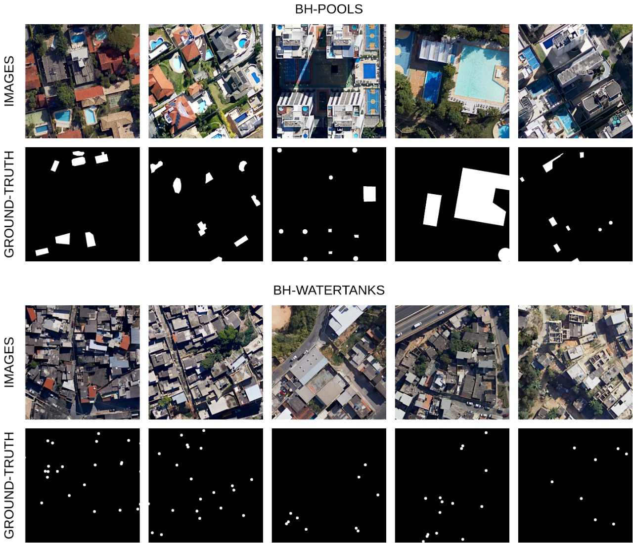
BH-POOLS & BH-WATERTANKS
Two separate datasets were assembled: BH-Pools and BH-WaterTanks, with annotated swimming pools and water tanks respectively. Both datasets consist of imagery from several neighbourhoods in the city of Belo Horizonte, Minas Gerais, Brazil. The data was acquired through the Google Earth Pro tool. The images were exported from an eye altitude of 330 meters with a resolution of 3840x2160 (4K), and the image bands are the three visible ones: red, green and blue. For each occurrence of the target objects found on the images, a polygon was drawn in order to generate the segmentation masks of the instance.
The BH-Pools dataset consists of 200 4K images of 8 different neighbourhoods (25 images for each one) and contains 3980 annotated pools. The BH-WaterTanks dataset is made up of 150 4K images of 6 neighbourhoods (25 images for each one) and contains 16216 annotated water tanks.
